
A practice simulator for Hyderabad roads
Sawari lets you practise the roads you will actually drive: real layouts, local traffic and the rules that matter. Then it tells you how you did.
Learn the road before you're on it
Most driving games are set in imaginary cities. Sawari, the Urdu word for a ride and for a royal procession through the old city, puts you on Tank Bund, the Old City and the HITEC City flyovers, where the traffic, the junctions and the speed breakers are what you will really meet.
It is a place to practise lane discipline, signalling and signals without risk. The debrief points out exactly what to work on next.
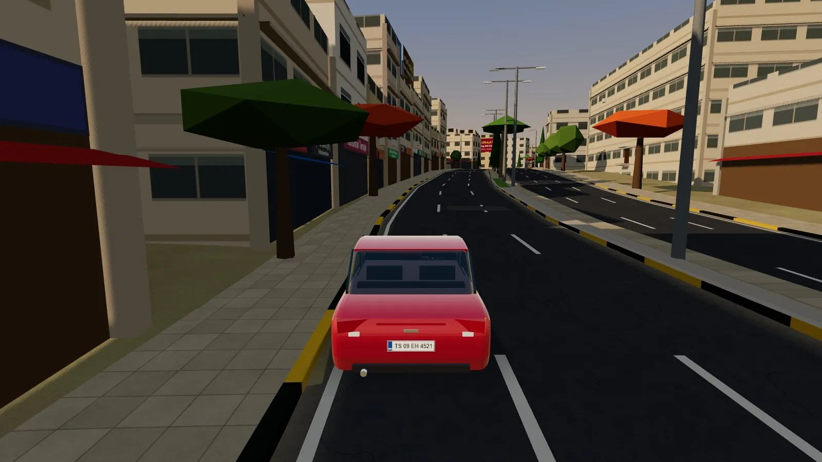
Open data, carefully assembled
Every route starts from public map and elevation data. The gaps are filled with care, and whatever is estimated is labelled as estimated.
From the map
Roads, lanes, one-way streets, flyovers, buildings, lakes, parks, signals, bus stops, metro lines and places of worship come from OpenStreetMap.
From elevation data
Ground height comes from open terrain tiles, smoothed, so roads, lakes and buildings sit at their real levels.
Estimated
Speed breakers, U-turn openings, stalls, parked vehicles, hoardings, most street lamps and filler buildings are placed by rule where the map has no detail.
Common questions
Is it free? Do I need to install anything?
Yes, it is free, and there is nothing to install. It runs in a modern browser (Chrome, Edge or Firefox) on a laptop or desktop. A keyboard or a gamepad works best.
Are these the official driving test routes?
No. They are famous, busy Hyderabad roads chosen for practice. They are not RTA test routes.
Are the buildings exact copies of the real ones?
No. Building outlines, heights where mapped, shop names and places of worship come from OpenStreetMap. Facades, stalls, hoardings, most street lamps and some filler buildings are generated to look typical of each area, so treat them as realistic rather than exact.
Why left-hand traffic and a right-hand-drive car?
Because that is how India drives. You sit on the right and keep to the left of the road.
It runs slowly on my computer. What can I do?
Choose Graphics → Fast in the menu and lower the traffic level. The game also lowers its resolution automatically when it detects slow frames.
Does it save my progress?
Your settings and your best score on each route are saved in this browser only. Nothing is sent anywhere.
For practice only
Sawari is a simulator. It does not replace lessons with a licensed instructor, and its scores do not reflect any official test. Always follow the actual road signs, signals and traffic police on the road.
Built on open data
OpenStreetMap
Road, building, lake and place data © OpenStreetMap contributors, available under the Open Database Licence.
Terrain
Elevation from the Terrain Tiles open dataset (Mapzen, hosted on AWS), derived from SRTM and other public sources.